Métro 4 – from north to south

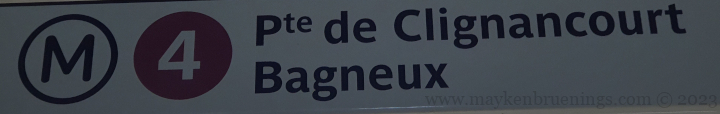
Line 4 is one of the oldest métro lines in Paris. Its construction began in 1905. In 1908, the first section was opened, running from Porte de Clignancourt (which is still its northern terminus today) in the 18th arrondissement to Châtelet in the center of Paris (1st and 4th arrondissement). A year and a half later, a second section was opened on the south bank, running from Raspail in the 14th arrondissement to Porte d’Orleans on the southern city limits.
In 1910, the line 4 became the first métro line to cross the river via a tunnel when the section linking Châtelet and Raspail was opened.

For over a century, the line 4 did not pass the city limits. Only in 2013 was it extended to the southern suburbs with the opening of the new terminus Mairie de Montrouge.

Métro 4 at Châtelet before full automation (the platforms are still open and the terminus is still Montrouge)

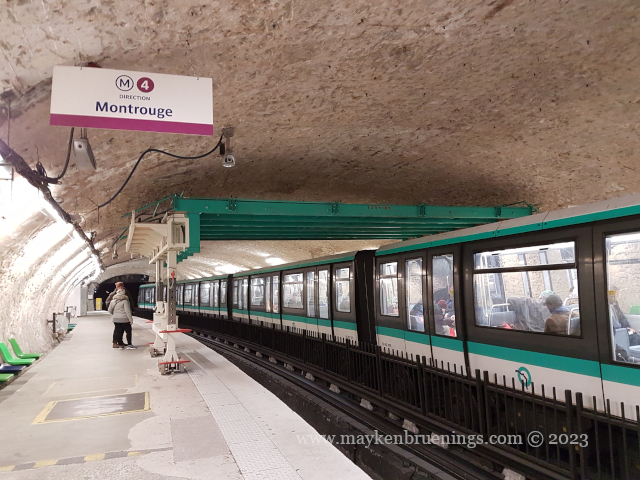
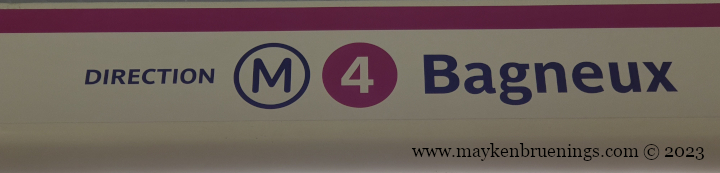
This station didn’t remain the terminus for long however, as in 2022 two more stations were opened to reach the current terminus Bagneux – Lucie Aubrac. (Both Montrouge and Bagneux are located in the département 92 Hauts-de-Seine.)

new terminus: Bagneux

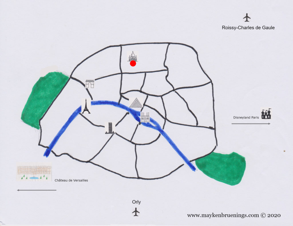
The line is frequently used by tourists as it calls at Saint Michel-Notre Dame as well as three of the six Paris train stations: Gare du Nord, Gare de l’Est and Gare Montparnasse.

Métro 4 and some other lines at Gare du Nord station

Here are some fun facts about the line 4:

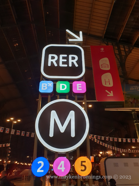
  • It’s the only line with correspondence to all other métro lines (except the very short 3bis and 7bis).
  • It’s the only métro line that has two stops at Châtelet-Les Halles, one of the largest underground stations in the world: At Châtelet, you can change to 1. 7, 11, and 14, at Les Halles to the RER A, B, and D.
  • It’s the second-most frequented lien after line 1.
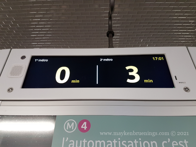
  • It is one of currently 3 fully automated métro lines, after line 14 (which was automated from the start) and line 1.
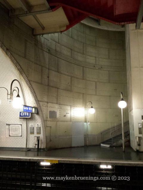
  • It is the only métro line with a stop on one of the Seine islands, Cité, a stone’s throw from Notre Dame cathedral.
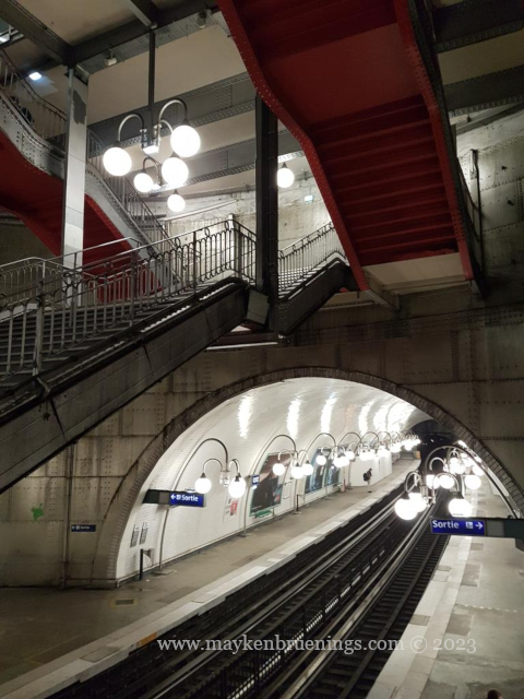
  • The stations Cité (on Cité Island) and Saint-Michel Notre Dame (right next to the river) were built in caissons assembled on the surface and then lowered into the ground.
  • Due to its proximity to the river, the middle section of the line is temporarily closed again shortly after its opening when the Great Flood of Paris leads to leaks inside the tunnel and stations.
  • As a fully automatic métro, is it much appreciated by commuters during transport strikes.

Come along for a ride from Mairie de Montrouge to the former terminus station Porte d’Orléans:

Share this:

Raise your eyes to the sky for your next train

Every city’s transport company has its own system of timetables and of informing travelers when the next bus or train can be expected.
In Paris, you raise your eyes to the sky to have the answer. (Unless you check the transport company’s app on your smartphone.)

SIEL on métro 7 northbound

Why the sky? It’s word play. The French word for sky (and heaven, by the way), is ciel. The information system on the Paris public transport is called Système d’information en ligne, acronym SIEL, which is pronounced almost the same as ciel.

SIEL on recently modernized métro 4

SIEL captures the next two métros or buses in real time, so next time you are at a Paris bus stop or metro station, raise your eyes to the SIEL, it will provide the answer.

SIEL at a bus stop
SIEL in a bus shelter

For good measure, here’s one you really don’t want to see:

SIEL on métro 13 southbound on a strike day
Share this:

Getting around in Paris

In addition to the 14 lines of the Paris subway, the Métro (from Métropolitain), several lines of RER commuter transit trains cross the city and serve the suburbs. They allow you to reach Versailles and its royal palace, Disneyland, the Stade de France, and Roissy-Charles de Gaulle airport.
Paris has several recent tram lines running along the city limits or serving the outskirts, as well as many bus routes crisscrossing the city. Despite a growing number of bus lanes, buses still get stuck in traffic a lot and are not a good means of transport to get from point A to point B – unless you are there for the ride, and not the destination.

The easiest way to get from point A to a point B that is too far to walk (I assume you are here to see things) is the metro. Nowhere in Paris are you more than 500m from one of the over 300 metro stations.

The only stations not connected to the métro/RER network are the bottom and top stations of the Montmartre Funicular.

Share this:

Reaching Paris

Paris has six main train stations (gares), all of which are terminus stations – no rail line cuts through Paris. (RER commuter transit trains and metro subway trains run mostly underground through the city.) On the Right Bank, the Gare du Nord serves northern France, London (with the Eurostar), Belgium, the Netherlands, and northern Germany. The Gare de l’Est just a stone’s throw away, serves the east of France and southern Germany. The Gare de Lyon serves a vast area from Mulhouse to Perpignan, thus including Switzerland, Italy and the entire Mediterranean coast.
On the Left Bank, the Gare d’Austerlitz serves inland destinations along the line Paris-Orléans-Limoges-Toulouse. The Gare Montparnasse serves the entire Atlantic coast up to and including Brittany, and back on the Right Bank, the Gare Saint Lazare serves Normandy.

Gare de Lyon

The two main Paris airports are Orly to the south and Roissy-Charles-de-Gaulle to the north of the city.

Paris map transport
Share this: