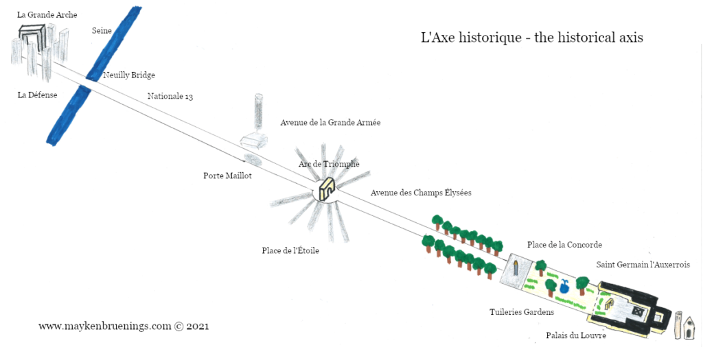
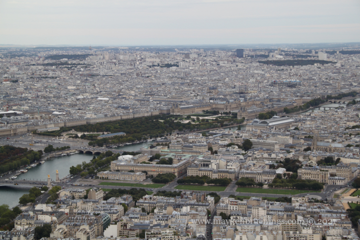
I’m sure you have no trouble spotting the Champs Élysées avenue on a map of Paris. It’s long, large, and straight. Its two end points are easily made out – the Place Charles de Gaulle-Étoile with the Arc de Triomphe on one end, the Place de la Concorde with the Tuileries Gardens and the Louvre on the other. But did you know there’s more to this straight line?
The axe historique (historical axis) or voie triomphale (triumphal way) has a long history that goes back to the 16th century when Catherine de’ Medici, widow of Henry II, had the Tuileries Palace built. The palace burned down during the Commune events, it would be placed between the two “open ends” of the Louvre.
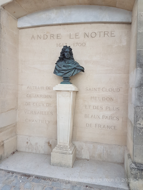
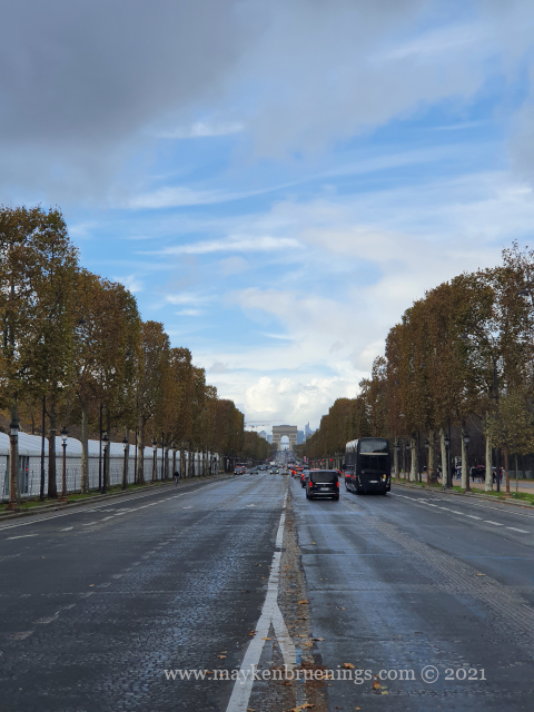
In the 17th century, André Le Nôtre, architect of the Versailles palace gardens, used the royal residence of the Tuileries Palace as reference when he created an avenue running westwards, planning as far as today’s Rond-Point des Champs Élysées.
Today, the axe historique starts at the Louvre, or even at the bell tower of the Saint Germain l’Auxerrois church and ends at the Grande Arche de la Défense.
Let’s explore the axe historique step by step, east to west.