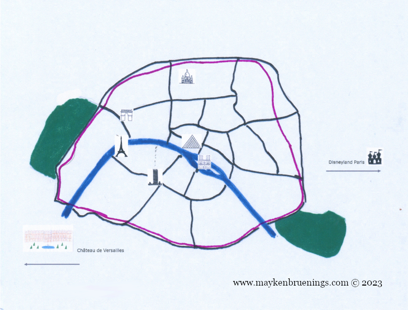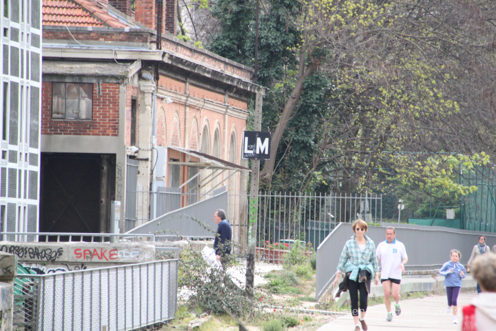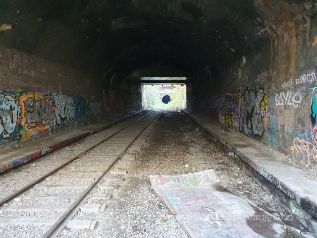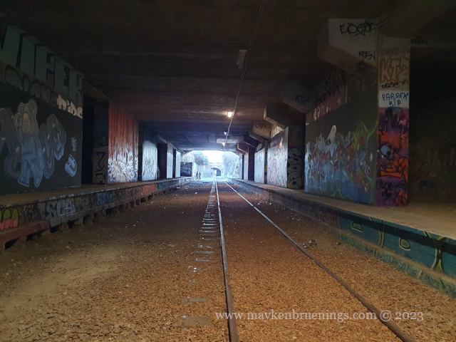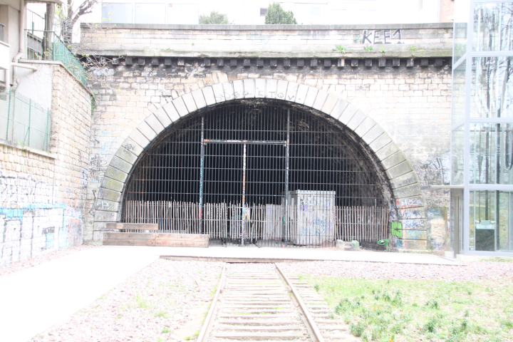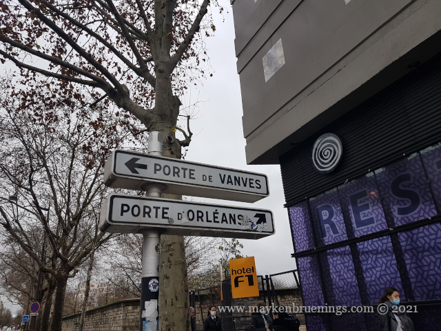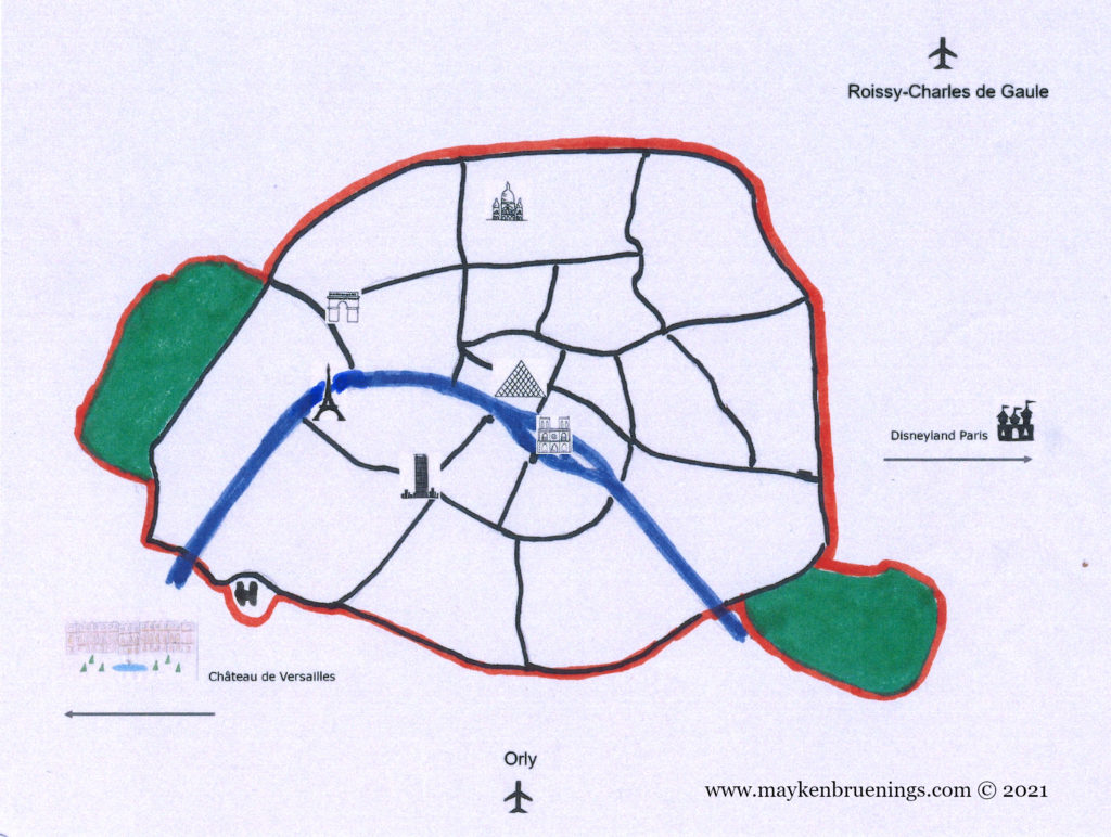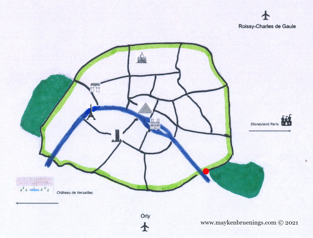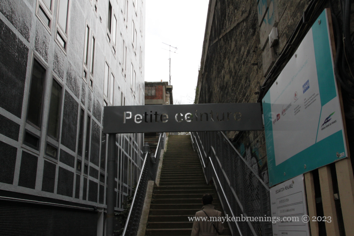
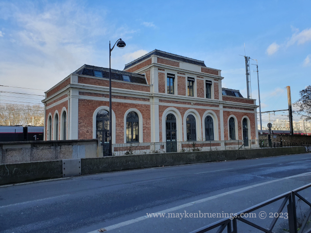
In the mid-19th century, a train track was built circling Paris like a belt just inside the boulevard des Maréchaux (see The Adolphe Thiers Wall). Called La Petite Ceinture, or Little Belt, it had junctions with all major train lines, so there was no need to go to the terminus stations. Initially meant for freight traffic, it started opining to passenger trains in 1862, giving workers relatively moderately priced train service through the suburbs of the capital to which Baron Haussmann’s works had relegated them.
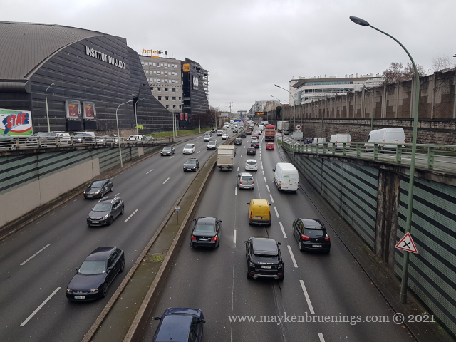
At the end of the 19th century, another belt-like railway line was built, 15km outside the Boulevard Périphérique (which roughly corresponds to the official city limits). This was called La Grande Ceinture and meant to connect the radial train lines linking Paris to the rest of the country and relieving the Petite Ceinture.
Nevertheless, peak traffic of 39 million passengers was reached on the Petite Ceinture during the 1900 World Fair. However, afterwards Parisians gradually abandoned the line in favor of the newly created métropolitain and omnibuses, which provided alternative offers better adapted to urban needs.
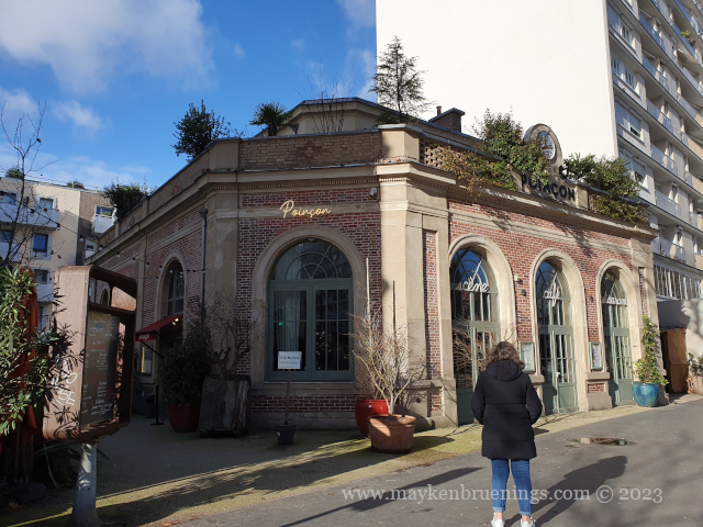
The train line closed down definitely in 1934. It was immediately replaced by a bus line taking its name, shortened to “PC”. Only a few night trains still ran for a while, freight trains kept running until the 1990s.
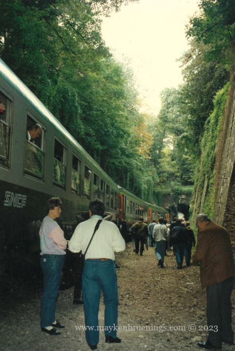
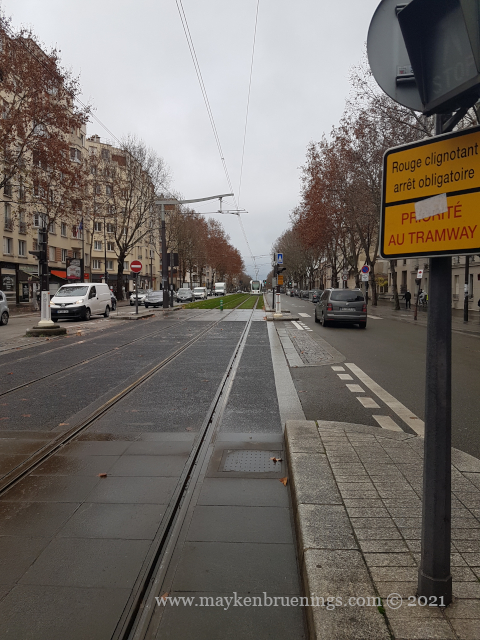
The PC bus line has since been partially replaced by the T3A and T3B trams, but the last section between T3A terminus Pont du Garigliano and T3B terminus Porte d’Asnières is still served by the PC bus.
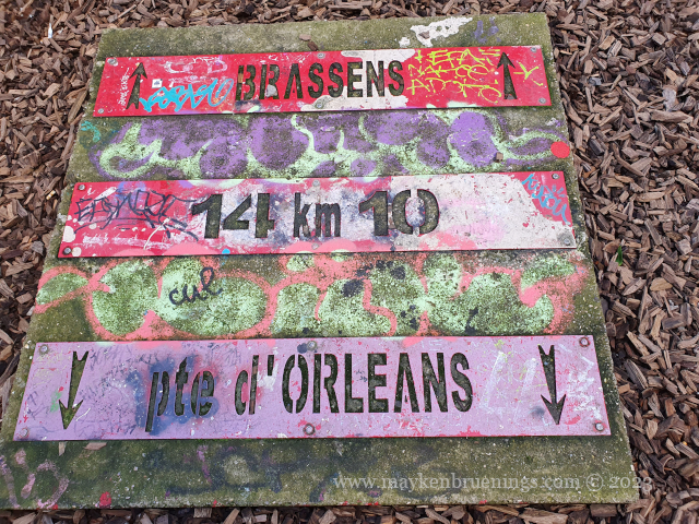
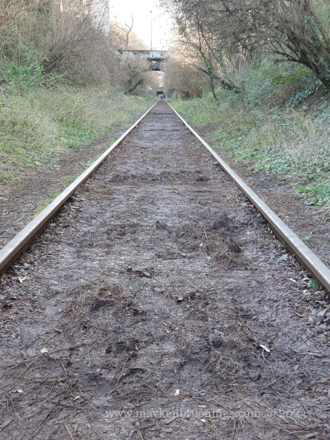
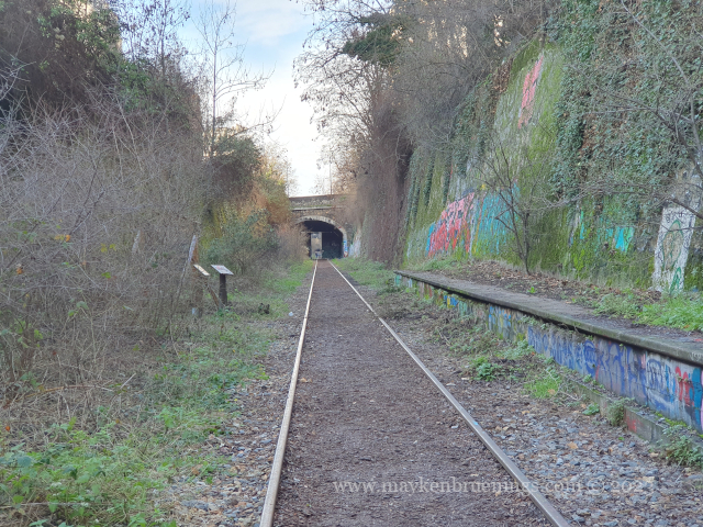
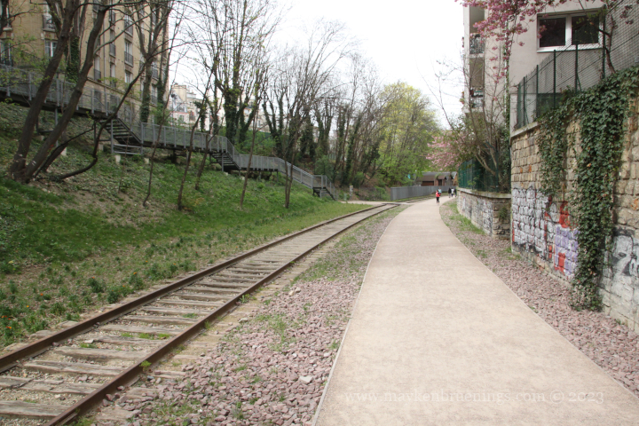
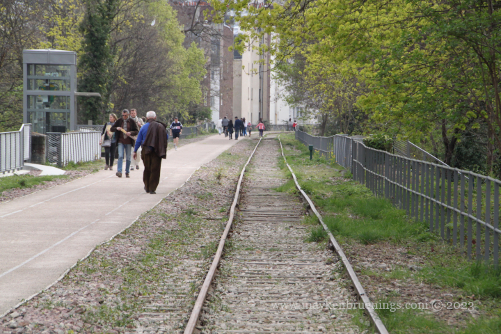
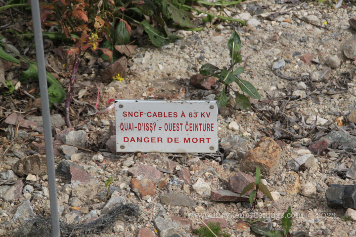
The Petite Ceinture infrastructure was largely abandoned and is today invaded by vegetation, which has given the line a special atmosphere and allowed for the development of a unique biodiversity in Paris.
Since 2007, the national French railway company SNCF, has authorized the temporary creation of greenways on certain sections. By preserving the platform, the SNCF keeps the option of one day reopening the line to passenger traffic.
There is one exception though: On the stretch between Avenue Henri Martin and Porte de Clichy stations, the RER C trains still run on the Petite Ceinture platform.
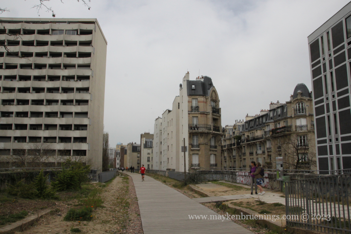
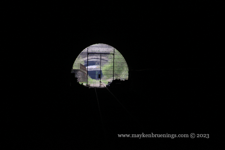
There used to be an entrance to the Paris Catacombs in the Montsouris tunnel, and even today adventurers out for the (completely illegal) exploration of the catacombs can be spotted in certain spots of the train track in the 14th arrondissement.
At Poterne des Peupliers in the 13th arrondissement, the train tracks were used for test runs of the new fully automatic metro line 14 before it was put into service in 1998.
