A rail belt around Paris

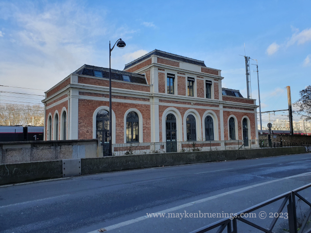
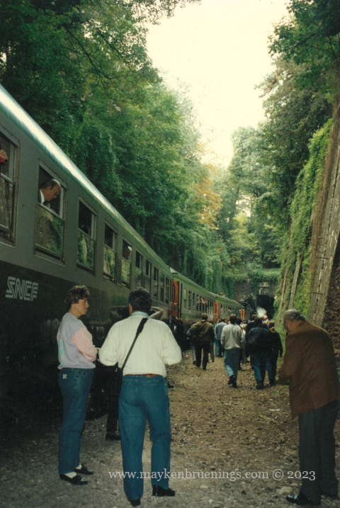
In the mid-19th century, a train track was built circling Paris like a belt just inside the boulevard des Maréchaux (see The Adolphe Thiers Wall). Called La Petite Ceinture, or Little Belt, it had junctions with all major train lines, so there was no need to go to the terminus stations. Initially meant for freight traffic, it started opining to passenger trains in 1862, giving workers relatively moderately priced train service through the suburbs of the capital to which Baron Haussmann’s works had relegated them.

Ouest Ceinture station near Porte de Vanves

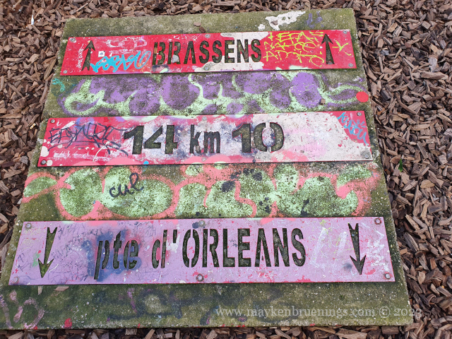
At the end of the 19th century, another belt-like railway line was built, 15km outside the Boulevard Périphérique (which roughly corresponds to the official city limits). This was called La Grande Ceinture and meant to connect the radial train lines linking Paris to the rest of the country and relieving the Petite Ceinture.

Nevertheless, peak traffic of 39 million passengers was reached on the Petite Ceinture during the 1900 World Fair. However, afterwards Parisians gradually abandoned the line in favor of the newly created métropolitain and omnibuses, which provided alternative offers better adapted to urban needs.

The Montrouge station on Avenue du Général Leclerc in the 14th has become a restaurant, behind it (to the left), there’s a staircase giving access to the Petite Ceinture.

The train line closed down definitely in 1934. It was immediately replaced by a bus line taking its name, shortened to “PC”. Only a few night trains still ran for a while, freight trains kept running until the 1990s.

A passenger train on the Petite Ceinture for a special occasion in 1992

The PC bus line has since been partially replaced by the T3A and T3B trams, but the last section between T3A terminus Pont du Garigliano and T3B terminus Porte d’Asnières is still served by the PC bus.

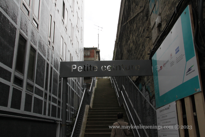
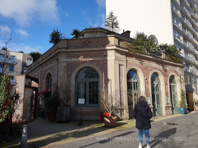
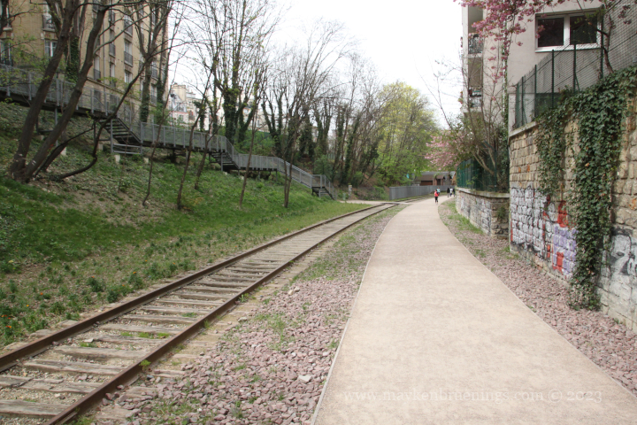
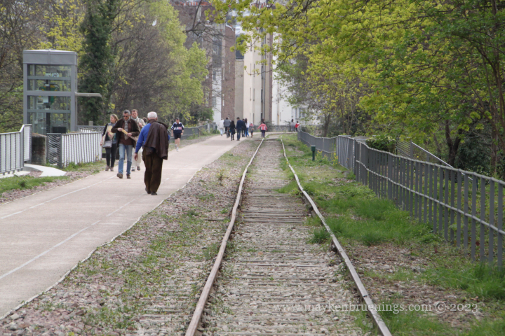
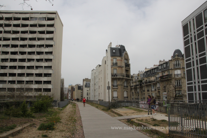
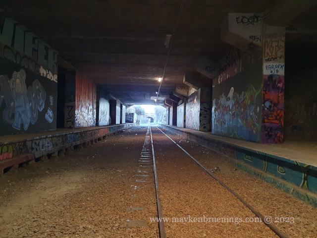
The Petite Ceinture infrastructure was largely abandoned and is today invaded by vegetation, which has given the line a special atmosphere and allowed for the development of a unique biodiversity in Paris.

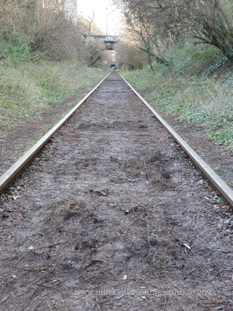
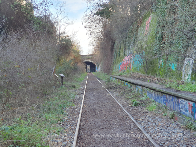
Since 2007, the national French railway company SNCF, has authorized the temporary creation of greenways on certain sections. By preserving the platform, the SNCF keeps the option of one day reopening the line to passenger traffic.

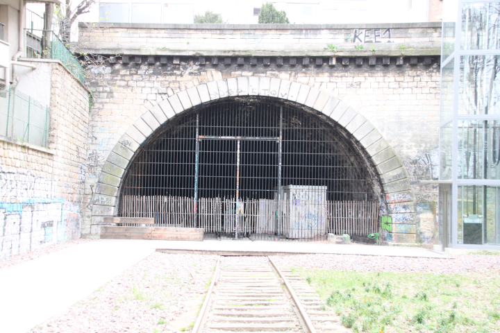
There is one exception though: On the stretch between Avenue Henri Martin and Porte de Clichy stations, the RER C trains still run on the Petite Ceinture platform.

the Petite Ceinture near Vaugirard

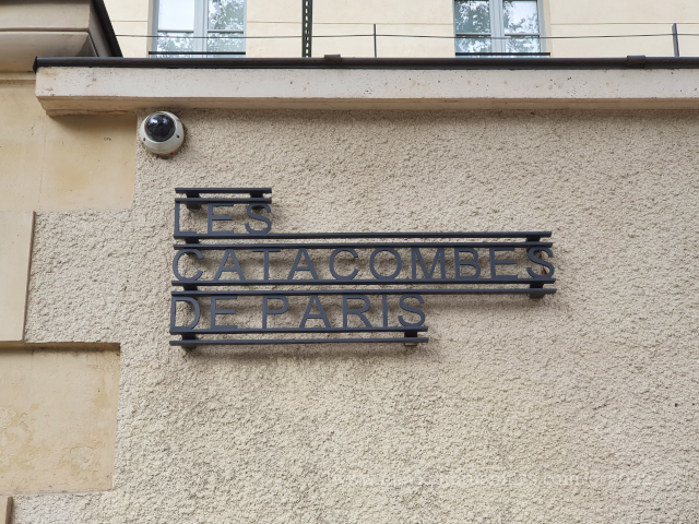
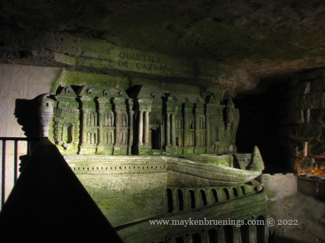
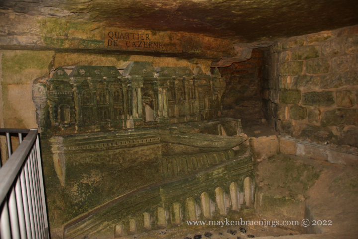
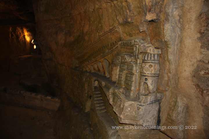
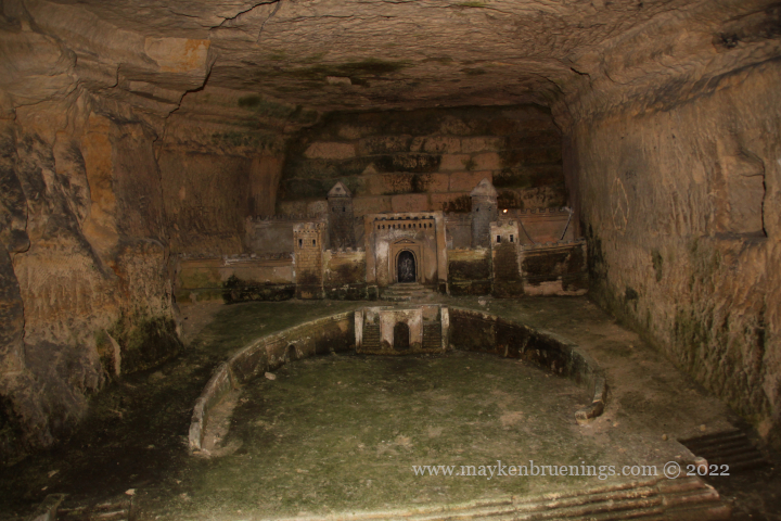
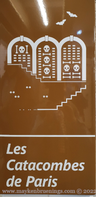
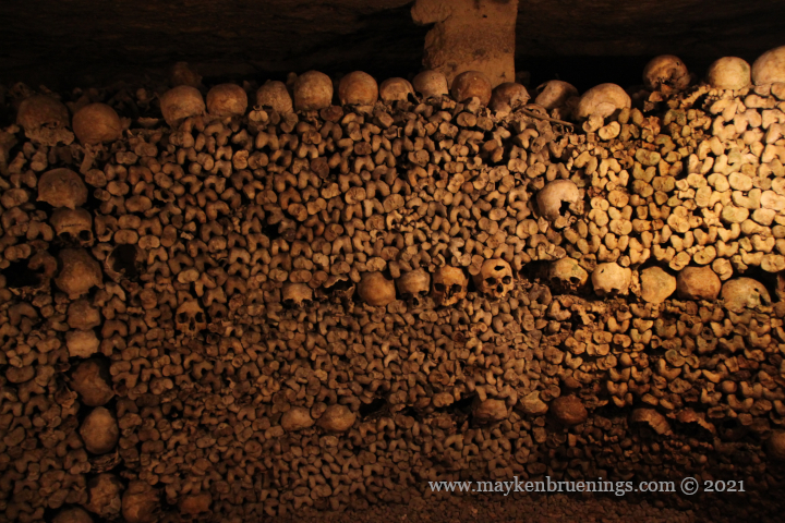
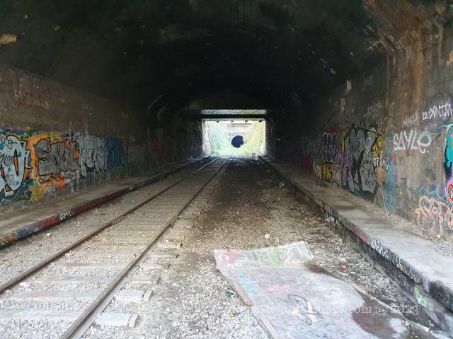
There used to be an entrance to the Paris Catacombs in the Montsouris tunnel, and even today adventurers out for the (completely illegal) exploration of the catacombs can be spotted in certain spots of the train track in the 14th arrondissement.

At Poterne des Peupliers in the 13th arrondissement, the train tracks were used for test runs of the new fully automatic metro line 14 before it was put into service in 1998.

The Petite Ceinture rail line (in purple)
Share this:

Bones beneath the Stones

When you find yourself with an avalanche of human bones in your basement, you know it’s time for change.

Which is what the city of Paris did when exactly that happened to neighbors of the Cimetière des Innocents in 1774. Looking for a place to store the bones from the overflowing inner-city cemetery, they came up with the idea to put them in the decommissioned stone quarries underneath the city.

After arrangements had been made, bones from the various cemeteries of Paris, Les Innocents included, were carted to a chute in the avenue René Coty (near Place Denfert-Rochereau) to be stored underground. The name Catacombes was borrowed from Ancient Rome, even though there were no graves and funerary monuments. At first, the bones were stacked along the tunnels over hundreds of meters. It was only after the first VIP visits at the beginning of the 19th century that the bones were somewhat organized. More cemeteries had to be closed as the city grew, and their bones were added to the ones already in residence.

Signs were added to indicate the cemetery of origin, and the gravediggers arranged skulls and bones in patterns that can still be seen today.

In 1809, the Catacombes became a museum that today is part of the Musée Carnavalet and gives visitors access to a small fraction of the tunnel network of Paris’ ancient stone quarries.

In one of the first sections of the visit, sculptures made by a quarryman in the late 18th century can be seen. They represent sites from Port-Mahon on the Spanish island of Minorca where he was said to have been a POW.

There used to be a long line of visitors starting out from the old entrance and winding back around the square behind the eastern lodge of the barriére d’Enfer (entry point of the General Farmers’ Tax Wall), but recently, it was closed in favor of a new entrance, and the ticket sale has shifted online, so now visitors can book their spot in advance and don’t need to queue any longer.

signage in the métro station Denfert-Rocherreau
N° 2: Catacombes entrance, n° 5: Catacombes exit
Location of the Catacombes entrances on a map of Paris
Share this:

Denfert-Rochereau intersection

The Denfert-Rochereau intersection in the 14th arrondissement is known by tourists mainly for the entrance to the catacombs and for the departure of the airport buses to Orly airport. There is, however, a whole lot more. Let’s have a look at the intersection.

No fewer than seven streets intersect here. First, the north-south axis:

  • Avenue Denfert Rochereau to the north, it leads to Port Royal.
  • Avenue du Général Leclerc to the south, it leads to Porte d’Orléans (see also La Libération).
  • To the west, rue Froidevaux, which runs alongside Montparnasse cemetery in the direction of Montparnasse.
  • To the east, boulevard Saint Jacques which turns into boulevard Auguste Blanqui and runs towards Place d’Italie, with a partially overground stretch of metro line 6.
  • To the northeast, boulevard Arago, and to the southeast, along the train line, avenue René Coty, leading to the Parc Montsouris.

Now for the intersection itself. At its center thrones the Belfort Lion of Paris (3). It is a one-third size copper replica of the Belfort Lion, both of which were created by Auguste Bartholdi. It looks in the direction of the Statue of Liberty, also created by Bartholdi.
The Belfort Lion in the city of Belfort, in eastern France, is a red sandstone monumental sculpture commemorating the heroic French resistance during the siege of Belfort during the Franco-Prussian war.

A view of the northern side of the intersection

On the east side of the intersection, between Saint Jacques and René Coty, is the Denfert Rochereau station, served by metro lines 4 and 6 and the RER B which leads to both Paris airports, Roissy-Charles de Gaulle in the north and Orly in the south. Outside the station, there’s the Orly airport bus station (4).

Denfert station, currently undergoing works

At the center of the intersection, south of the lion, the lodges of the barrière d’Enfer, an entry point of the General Farmers tax wall house two museums: the Paris catacombs on the east side (2) and the Museum of the liberation of Paris on the west side (1).

Denfert tax lodge with entrance to the Catacombs
Avenue du Colonel Henri Rol-Tanguy, tax lodges and Denfert station

The lower part of the Place Denfert was renamed in 2004 to Avenue du Colonel Henri Rol-Tanguy to honor this communist resistant (1908-2002) who led the insurrection of the capital in August 1944 from his command post in the catacombs underneath the intersection.

The Paris Catacombs
Location of the Denfert Rochereau intersection
Share this: